This lot has the tax map number 3-2-6-18-8. We named this lot Wahiloa after the waterfall at the end of the lot.
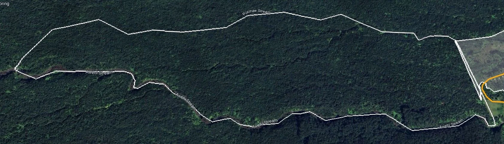
The lot is approximately 470 acres. The lot has approximately 100 mature Koa trees and a lot of Waiwai. The Koa has substantial commercial value, and the waiwi that is over six inches in diameter also can be sold. There is no road on this lot. Access to this lot comes from Amauulu Road. The lot is zoned as conservation resource. Details below.
We made an attempt in 2012 to get permission to put a road in this lot. The request was denied. Though they allowed us to use chain saws.
§13-5-13 Resource (R) subzone.
(a) The objective of this subzone is to ensure, with proper management, the sustainable use of the natural resources of those areas.
(b) The (R) subzone shall encompass:
(1 Lands necessary for providing future parkland and lands presently used for national, state, county, or private parks; Unofficial Copy §13-5-13 5-14
(2) Lands suitable for growing and harvesting of commercial timber or other forest products;
(3) Lands suitable for outdoor recreational uses such as hunting, fishing, hiking, camping, and picnicking;
(4) Offshore islands of the State of Hawaii, unless placed in a (P) or (L) subzone;
(5) Lands and state marine waters seaward of the shoreline to the extent of the State's jurisdiction, unless placed in a (P) or (L) subzone.
(c) Identified land uses in the resource (R) subzone are restricted to those listed in section 13-5- 24. [Eff 12/12/94; am and comp ] (Auth: HRS §183C-3) (Imp: HRS §183C-4)
§13-5-24 Identified land uses in the resource subzone.
(a) n addition to the land uses identified in this section, all identified land uses and their associated permit or site plan approval requirements Unofficial Copy
§13-5-24 5-30 listed for the protective and limited subzones also apply to the resource subzone, unless otherwise noted.
(b) If a proposed use is not presented below or in section 13-5-22 or 13-5-23, an applicant may request a temporary variance, petition the land use commission for a land use district boundary change, or initiate an administrative rule change to have the proposed use added to the identified land uses.
(c) Identified land uses in the resource subzone and their required permits (if applicable), are listed below:
(1) Identified land uses beginning with letter (A) require no permit from the department or board; (2) Identified land uses beginning with letter (B) require a site plan approval by the department; (3) Identified land uses beginning with letter (C) require a departmental permit; and
(4) Identified land uses beginning with letter (D) require a board permit, and where indicated, a management plan.
R-1 AQUACULTURE (D-1) Aquaculture under a management plan, approved simultaneously with the permit, is also required.
R-2 ARTIFICIAL REEFS (D-1) Artificial reefs.
R-3 ASTRONOMY FACILITIES (D-1) Astronomy facilities under a management plan approved simultaneously with the permit, is also required. Unofficial Copy §13-5-24 5-31
R-4 COMMERCIAL FORESTRY (D-1) Sustainable commercial forestry under a management plan, approved simultaneously with the permit, is also required.
R-5 MARINE CONSTRUCTION (A-1) Maintenance dredging not to exceed the dredging limits for the area as previously authorized and dredged. (D-1) Dredging, filling, or construction on submerged lands, including construction of harbors, piers, marinas, and artificial reefs.
R-6 MINING AND EXTRACTION (D-1) Mining and extraction of any material or natural resource under a management plan approved simultaneously with the permit, is also required.
R-7 SINGLE FAMILY RESIDENCE (D-1) A single family residence that conforms to design standards as outlined in this chapter.
R-8 BOTANICAL GARDENS, PRIVATE PARKS, AND NATURE CENTERS (D-1) For a profit or non-profit establishment featuring plants or other natural resources and offering tours or other nature-based, outdoors educational and recreational activities, primarily during daylight hours. Facilities may include access road, restrooms, shelters, and not more than one structure for housing, administration, and maintenance not to exceed 1,200 square feet, under a management plan approved simultaneously with the permit, is also Unofficial Copy §13-5-24 5-32 required. [Eff 12/12/94: am and comp ] (Auth: HRS §183C-3) (Imp: HRS §183C-4)
Previous plans for this location

This picture shows the proposed project area and three access roads that were envisioned to access this area. The three roads all attach to the extension of Amauulu road that goes through the adjoining property TMK 3-2-6-28-1.
In 1982 planting this lot in Eucalyptus was considered. These reports are from the Hilo library, and describe the land at the time. No changes to the land have been made in 42 years.

